
FAQ
Landscape Design in Porter Ranch, answered
The questions we hear most from Porter Ranch homeowners.
Before a single line is drawn we spend time on the ground. Fall across the property is measured, along with where water enters, collects, and leaves. Sun and shade are noted at different hours, since a west facing corner and a north side bed are entirely different planting problems. Soil is checked, views out of the main interior rooms are recorded, gaps where a neighbor looks in are marked, and existing trees are located. On the hillside lots common in this community, access is assessed too, because material that cannot reach a lower terrace cannot be built with.
In most Porter Ranch neighborhoods that is precisely what it is for. This is a master planned community, and a large share of it sits under an association whose committee approves landscape plans before construction. That changes what the drawing has to accomplish. Beyond guiding a crew, it has to communicate to people who will never stand in your yard, which means materials called out plainly, colors identified, heights given for walls, structures, and screening, and a layout anyone can follow. We draw it as a submittal from the beginning instead of dressing up a rough sketch later.
It occupies real time, and pretending otherwise only sets up a disappointment. Review runs on the committee calendar rather than yours, and a submission that arrives incomplete can come back with questions, which starts the wait over. The sensible response is to get the drawing right the first time and to treat approval as a genuine milestone in the project instead of a formality that happens quietly alongside construction. We tell you where that step falls in the sequence, so your expectations line up with how the job will actually unfold.
Since much of this area falls inside a Very High Fire Hazard Severity Zone, how planting is chosen and arranged becomes a constraint on the design rather than a preference. Species are picked with fire behavior in mind. Plants go in as separated groups with space between them, so a yard does not read as one continuous run of fuel. The band closest to the house stays low, thin, and simple to maintain, and larger masses are kept off walls and away from eaves. Handled at the drawing stage, this is just good design.
The exercise is to stop treating a yard as one leftover space. A dining area, a lounge zone near a fire feature, a quiet reading corner, a service area for bins and equipment, and any lawn each receive a footprint and an edge. Those edges come from planting masses, a change of level, a change of paving, or something overhead. On a terraced hillside lot the levels often supply the divisions for free, which is one of the few advantages of a slope that turns up in the design rather than in the budget.
Paths follow where people will genuinely walk, which is not always where a drawing looks tidiest. We trace the routes from the back door to the grill, from the side gate to the bins, from the patio down to the lower level, then draw paths along those lines instead of at right angles to them. Width is specified rather than assumed, because two people walking together need more room than a single file trail allows. Where levels change, steps and landings are located and riser heights held consistent from top to bottom.
On the view lots that are common in this community, the outlook is usually the organizing idea behind the entire design. Sight lines from seated eye level are established early, then everything that could interrupt them is checked against that height, including walls, railings, planters, screens, and the mature size of any plant near the edge. Structures are positioned so posts frame the valley rather than slice through it. Deciding this on paper is worth the trouble, because a view is easy to lose by accident and costly to recover afterward.
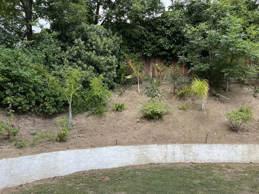
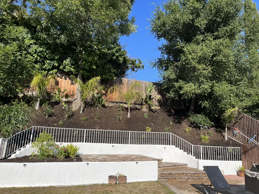
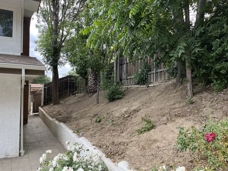
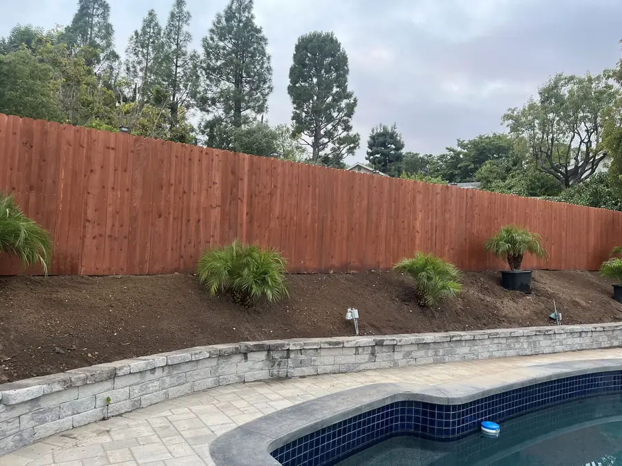
Hillside lots make usable ground the first design question rather than the last. The plan works out where level pads land, how many terraces the fall should be broken into, where walls stand and how tall they run, and how steps connect one level to the next. Retaining is drawn together with its drainage, meaning gravel backfill and a perforated line behind the wall, because a wall without drainage is a wall waiting to lean. Where a wall passes a height threshold, an engineered design and a permit come into play, and that is flagged early.
Exposure decides first, and the rest follows from it. A bed baking against a west wall wants a completely different palette from one in shade on the north side, even a short distance away. After exposure come mature dimensions, so nothing has to be sheared into submission every year, water demand so a plant can share a valve with its neighbors, fire behavior given where we are, and finally how the plant reads through the seasons. A nursery tag tells you far less than knowing how a species performs on this side of the valley.
It is the practice of grouping plants by water demand and giving each group its own valve. Simple to state, routinely ignored in the field. When a thirsty plant and a drought tolerant one share a zone, the schedule can only suit one of them, so you either drown one or starve the other, and in practice the whole area gets overwatered to protect the weakest thing in it. Setting the zones on paper keeps the planting plan and the irrigation plan in agreement, which makes seasonal adjustment straightforward instead of guesswork.
Because that is the size it will spend most of its life at. Drawing plants at the dimensions they will reach, rather than at the size they arrive in, produces spacing that still works several years from now. The side effect is a plan that can look thin on paper and a yard that looks open on the day it is finished. That is intentional. Overplanting for instant fullness is the request we most often talk people out of, and thinning a crowded bed later is a worse afternoon than waiting ever was.
Measure what you own and bring the numbers to the table. We put real dimensions on the plan, a table this long, chairs that need this much room to push back, a sofa this deep, so you are checking your actual furniture instead of generic rectangles. If new pieces are planned, we use their measurements. Then go outside, tape the outlines onto the ground, and stand inside them. A quarter hour of that has revised more layouts than any amount of studying a drawing on a screen.
As many as the plan needs before you are genuinely satisfied with it. A first draft is a proposal, and it is completely normal for a second or third version to shift a patio, resize a room, or change a paving material once the idea has had a week to settle. Revising a drawing is inexpensive. Revising finished construction is not, because it means undoing work and reordering material. Nothing goes out for review or over to the crew until you have seen the final version and told us it is right.
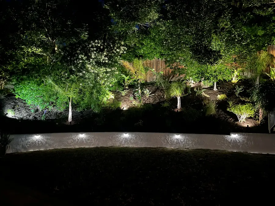
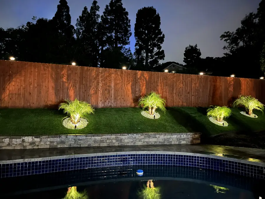
Both get located while everything is still on paper. Irrigation receives mainline routing, valve positions, and zones that correspond to the planting plan. Lighting receives fixture locations, transformer placement, cable runs, and sleeves under any surface that would be painful to cross later. Deciding this early costs nothing but attention, whereas adding it after paving is finished means cutting and patching. The plan also leaves you a permanent record of what is buried where, which becomes valuable the first time somebody needs to put a shovel in the ground.
It changes the starting point more than the process. Because this community is newer than most of the San Fernando Valley, the existing yard is frequently the original developer installation, which means fewer mature assets to design around and fewer constraints to inherit. That is close to a clean sheet, and it works in your favor. We still keep whatever earns its place, generally healthy trees and any drainage that functions, and design the rest freely. Where an older neighborhood forces a plan to bend around history, here the plan usually gets to lead.
A plan you can build from and submit for review. It carries the layout with dimensions, materials identified surface by surface, colors where they matter, the planting plan with species and quantities, and notes covering grade, drainage, irrigation, and lighting. It is drawn to scale, so measured distances are real distances. Elevations or sections are added wherever a wall, a run of steps, or an overhead structure needs to be understood in three dimensions. Anyone who picks it up should be able to see what is going to be built.
We build them, with one licensed contractor on any part of the work. That matters more than it sounds. When the company that drew the plan is the company standing in the yard, no detail is lost in translation and nobody has anyone else to blame for a missed intention. It also keeps the drawing honest, since we only propose what we know can be delivered on your property, including getting material down to a lower terrace on a tight hillside lot.
Call (818) 443-9300 and we will set up a site walk at your Porter Ranch property. That visit is where we read the ground, hear how you want to live in the space, and identify what the plan will need to address, including anything an architectural committee will expect to see. You receive a free written estimate, so the scope is settled before drawing begins. Daniels Landscaping holds California contractor license 1138709, and the company that draws your plan is the same company that puts it in the ground.