
FAQ
Landscape Design in West Hills, answered
The questions we hear most from West Hills homeowners.
Landscape design is planning, not construction. It settles what goes where, at what size, at what elevation, and in what material, and it does so on paper. A design covers the division of the property into usable areas, the paths between them, the grading required to make them work, the drainage that keeps them dry, the planting palette, and the locations for irrigation and lighting. None of it is built during this stage, and that is the value. A line on a drawing can be erased in a minute. A retaining wall in the wrong place cannot.
We come out to the property and spend most of the time asking questions. How do you use the yard today, what parts of it do you avoid, how many people are usually out there, do you entertain, do you garden, are there dogs or children to plan around, and what has stopped you from fixing it until now. Then we walk the land itself and take our own notes and measurements. Nothing gets drawn at this meeting. The goal is to understand both the site and the people who live on it.
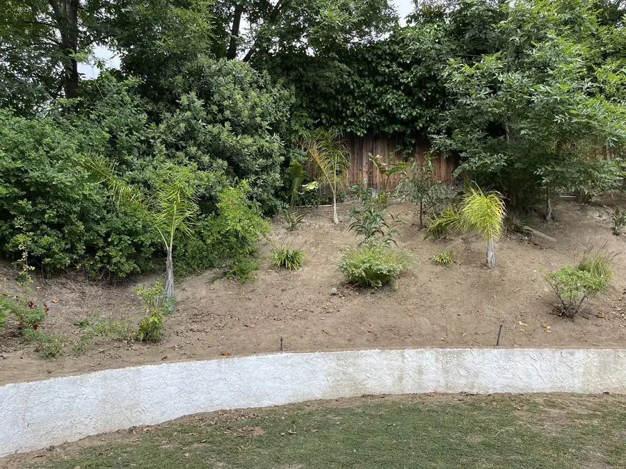
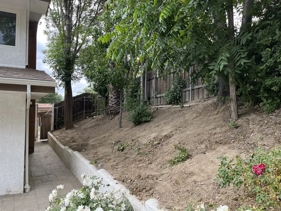
Levels come first on most West Hills properties, since so many of these parcels sit on a hillside or fall off toward the back. We read the slope, find where the ground is already close to level, and note the height difference between one part of the yard and another. Beyond that we check soil, where sun and shade fall through the day, drainage paths, the condition and root zones of existing trees, sight lines from the main rooms of the house, and where privacy is missing. Photographs and measurements are taken throughout.
You receive a scaled plan of the property. It shows the layout of every area with dimensions, the materials chosen for paving, steps, and walls, and the planting laid out by species and location. Grading intent and drainage direction are indicated, along with where irrigation and lighting will run. It is specific enough to build from and clear enough to read without a background in construction. That is deliberate, because you cannot approve something you do not understand, and approval here is not a formality.
By deciding what each part of it is for. A big property is harder to design than a small one, because empty space without a purpose just reads as leftover. So we assign uses first. A dining area near the house, a quieter seating spot further out, a lawn or play area, a service zone for equipment and bins, sometimes a growing area. Each gets a defined footprint, a boundary, and a reason to exist. Rooms are then sized against each other so that no single one dominates and none of them feels like an afterthought.
Routes get drawn before objects do. We look at where people already walk, from the driveway to the door, from the kitchen out to where food is served, from the house down to the lower yard. On a sloped property that means resolving steps, because levels that differ in height have to be connected in a way people will actually use. Riser heights, landings, and whether a ramped path serves better than stairs are all decided at the plan stage. Path widths are set on purpose too, not left to whatever happens to fit.
Because they set each other's proportions. Paving drawn on its own tends to grow until it takes over the yard, and planting added afterward gets whatever narrow strip is left, which is rarely enough for anything to mature properly. Working both at once, we can size a terrace against the beds that will frame it, give a wall the planting depth it needs at its base, and keep the built and the green in balance. A yard that feels right almost always got its ratio of surface to planting settled during design.
Exposure and water need come first, then mature size, then appearance. On the western hills, wildfire risk is also part of the decision. That means favoring lower fuel, fire wise material and paying attention to how planting is laid out near the house, with sensible spacing rather than continuous masses of vegetation pushed up against the walls. Beyond that, plants are grouped so that anything sharing an irrigation zone shares a water requirement, and every selection is checked against its mature dimensions so the bed still works five years from now.
It means the plan sorts planting into groups by water demand, and the irrigation follows those groups instead of cutting across them. When a high water plant shares a valve with drought tolerant ones, somebody has to choose which plants suffer, and the compromise usually kills the low water plants through overwatering. Sorting this out during design is simple, since it is only a question of where plants are placed. Sorting it out later means moving established plants or adding valves. Grouping properly also makes seasonal adjustment possible without guesswork.
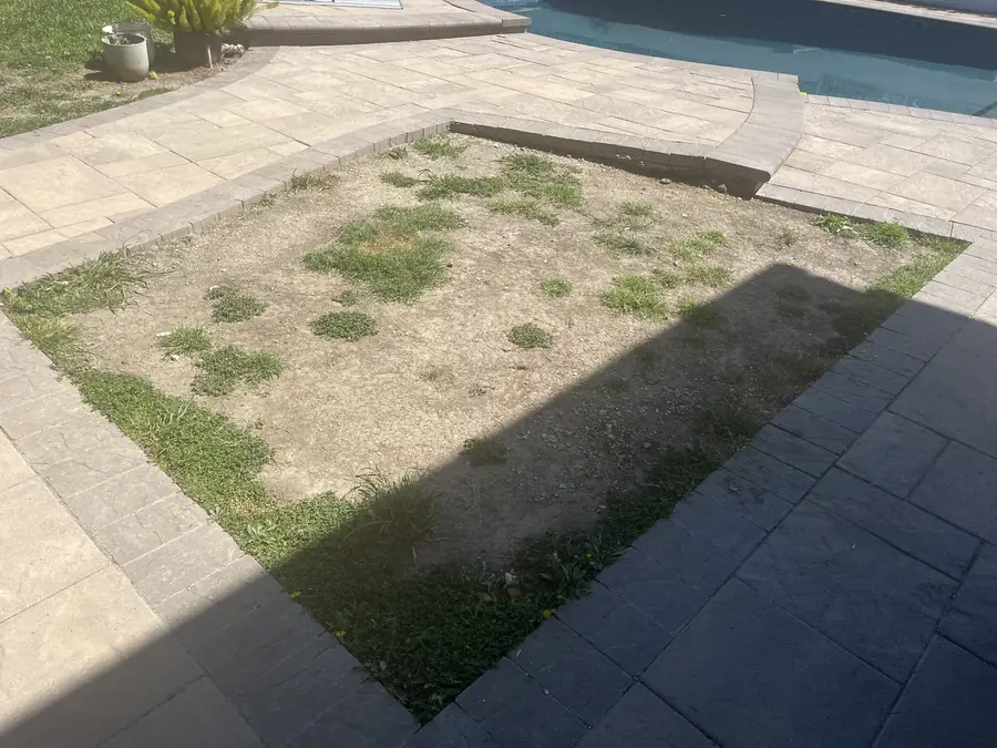
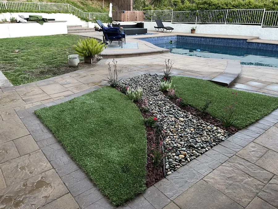
Not unless there is a reason for one. Lawn is worth the water and the upkeep when it is genuinely used, for children, for dogs, for somewhere to lie down. When it is only there out of habit, it is the most demanding surface on the property for the least return. During design we look at how much lawn actually gets used, give it a defined shape and a sensible size, then decide what the remaining area should become. Planting, gravel, decomposed granite, and paving all serve better in places where turf was struggling anyway.
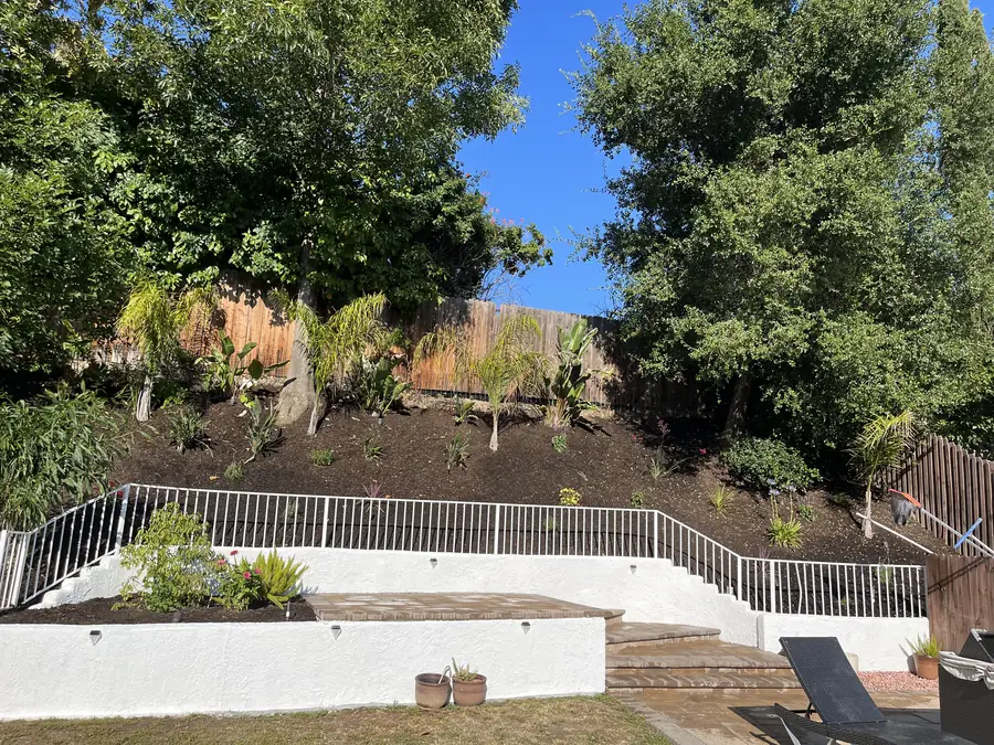
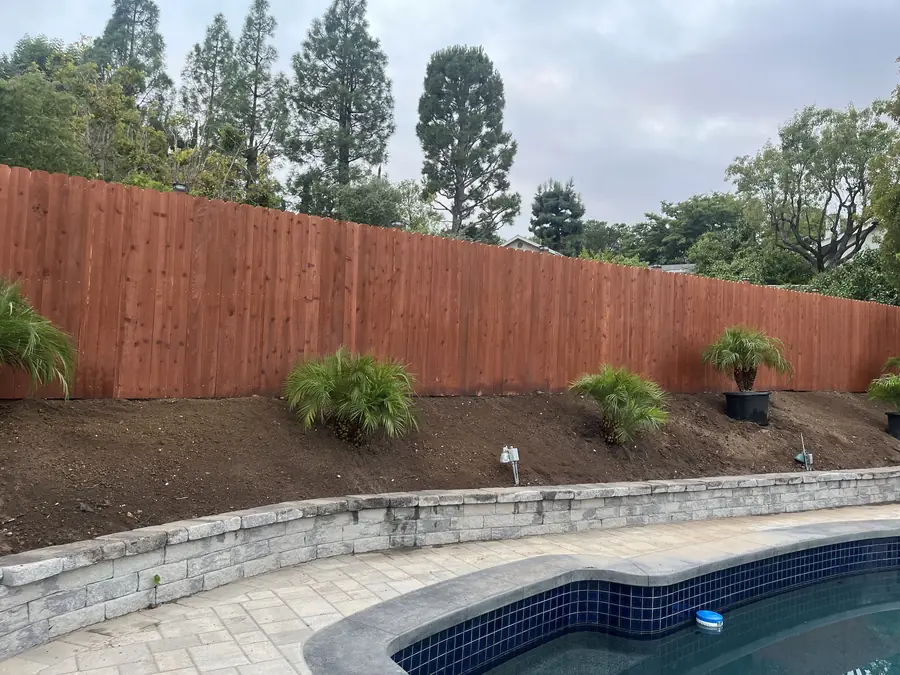
On a hillside these are the first decisions, not the last. The plan has to establish where earth is cut and where it is filled to produce level ground, what has to be retained or terraced to hold those levels, and how the height differences resolve into steps. At the same time we work out how water moves down the property and where it leaves, so that runoff is directed away from structures and off the site rather than collecting on a new terrace. Getting this wrong on paper takes an eraser. Getting it wrong in the field takes a rebuild.
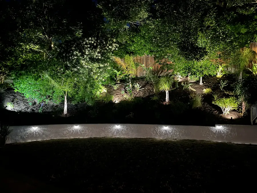
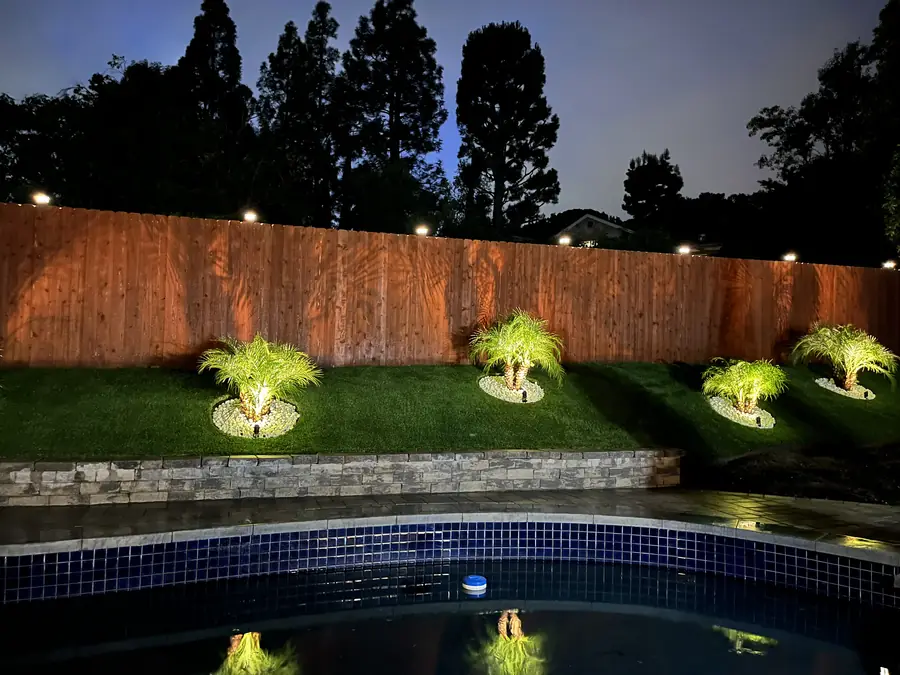
During design, alongside everything else. The plan identifies how many irrigation zones the planting will require and roughly where valves and lines run, and it marks where sleeving must pass beneath paving and steps before those surfaces are built. Lighting is planned the same way. We decide which stairs and paths need to be lit for safety, what deserves to be highlighted after dark, and where fixtures should not go because they would shine into a window or a neighbor's yard. Wiring routes follow from those decisions rather than preceding them.
Then we change it, which is the reason a first version exists. Very few plans are approved exactly as first drawn, and the ones that are usually got there because the client was being polite. Tell us what feels wrong, even if you cannot articulate why. Areas get moved, resized, dropped, or swapped. Sometimes an entire concept is discarded and we start again from a different organizing idea. That process costs drawing time and nothing else. The same conversation held during construction costs materials, labor, and schedule.
Test it against real objects and real distances. Look up the dimensions of the outdoor table you want and confirm it fits the drawn space with circulation room around it. Take a tape into the yard and lay out the footprint of a proposed terrace so you can stand on it. Check that a path width is one you would comfortably walk two abreast. And remember that planting is drawn at mature size, so the yard will look thin at first. Anything that appears full on the day it is installed will be overcrowded within a few years.
It moves grading from a technical detail to the central idea. Level ground is the scarce resource on a sloped West Hills parcel, so the plan begins by deciding where to create it and what it costs to do so. Retaining walls and terracing are the tools, and their heights and positions determine how much usable space you get and where it sits. Connections between levels are designed at the same time, since a terrace nobody wants to climb to is wasted space. Everything else, the planting, the paving, the furniture, follows from the levels.
On the upper lots the view is usually the organizing idea for the entire plan. Seating gets positioned to face it, openings in planting and railings are placed to frame it, and anything that would grow up and block it is either left out or sited elsewhere. That works in both directions. We also identify what you would rather not look at, a neighbor's roofline or a utility pole, and use planting or a structure to screen it. Deciding this during design is easy. Discovering a mature tree in the wrong place ten years later is not.
Yes. Daniels Landscaping is a design and build company, and the construction is carried out by one licensed contractor. One licensed contractor stays accountable for the work. Because the same company draws the plan and installs it, there is nobody in the middle reinterpreting decisions they were not present for, and the yard that gets built matches the yard you approved. When something in the field calls for a judgment call, the person making it already knows the intent behind the drawing. Accountability stays in one place from first sketch to final walkthrough.
Reach us at (818) 443-9300 to schedule a visit to your property. We will walk the site with you, talk through what the land will and will not allow, and give you a free written estimate. Daniels Landscaping holds California license 1138709. Come with photographs, measurements, a wish list, or nothing at all. That first conversation is about understanding the property and what you want from it, and there is no cost or commitment attached to having it.