
FAQ
Landscape Design in Granada Hills, answered
The questions we hear most from Granada Hills homeowners.
A drawn plan you can read and build from. It shows the layout of every element in position, dimensions so you know how wide the walkway is and how deep the patio runs, the materials chosen for each surface, and the planting laid out by species and quantity. Grade and drainage intent is indicated, and the routes for irrigation and lighting are noted so nothing is discovered mid construction. It is a document, not a mood board. The point is that you can look at it and know precisely what you are approving.
We spend real time on the property before drawing anything. Slope gets read, because it determines where water goes. Existing drainage patterns are traced, including where water collects now and where it exits. Sun and shade are noted across the course of a day, since a spot that is pleasant at noon may be unusable at four. Soil gets examined. Sight lines and privacy are judged from inside the house looking out, not only from the yard. Existing trees are evaluated for health and for whether the plan should be built around them.
Substantially. This community covers an unusually wide range of terrain for one place, from level southern streets to foothill parcels at the northern end, and the plan has to respond to that. A flat lot lets us think mostly about rooms, circulation, and planting. A foothill site starts with elevation, because no dining terrace can be placed until we know where level ground can be created. We do not reuse a layout drawn for one part of the area on another. The site dictates the drawing every time.
An undivided yard tends to get used for nothing in particular. Dividing it means assigning purpose: a dining area sized for the table you actually own, a lounge zone around a fire feature, a utility corner for trash and equipment, a play area, a growing bed. Each room gets a floor, a boundary of some kind, and a reason to walk to it. Circulation is the other half of the exercise. Paths connect the rooms in the order people really move through them, because if a path sits where the walking does not happen, people cut across the planting.
Draw all of it, build it in stages. Properties here are commonly bigger than what the central valley average would suggest, and on a large site a partial plan almost guarantees that the second phase contradicts the first. A master plan resolves circulation, grading, drainage, and utility routing across the whole property up front, then construction is broken into areas that can each be finished and used on their own. Phasing by area is common around here for exactly that reason, and sleeves for later phases get placed while earlier trenches are open.
They come first and everything else adjusts around them. Mature canopy is often the strongest feature a property here already has, since the tree-lined streets, White Oak Avenue included, are a defining trait of the area. Canopy dictates the shade map, the shade map dictates plant selection underneath, and plant selection dictates irrigation zoning. It also constrains construction, because root zones must be protected and paving or footings cannot simply go wherever the drawing would prefer. A plan that ignores an established tree either kills the tree or gets rewritten on site.
Yes, and it belongs in the plan rather than being handled as an afterthought. The northern portion of the community meets open hillside, and a property in that wildland interface has to account for fire wise planting and clearance around structures from the drawing stage forward. That shapes plant choice close to buildings, the spacing between masses so beds do not form one continuous run of fuel, and the use of paving, gravel, or stone as separation. It also sets maintenance expectations, since a fire wise plan only stays fire wise if planting is held to the size it was drawn at.
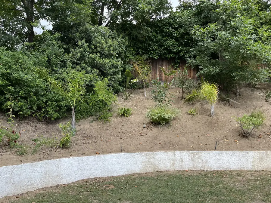
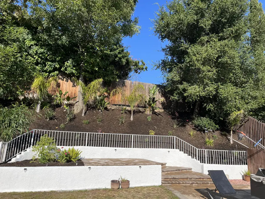
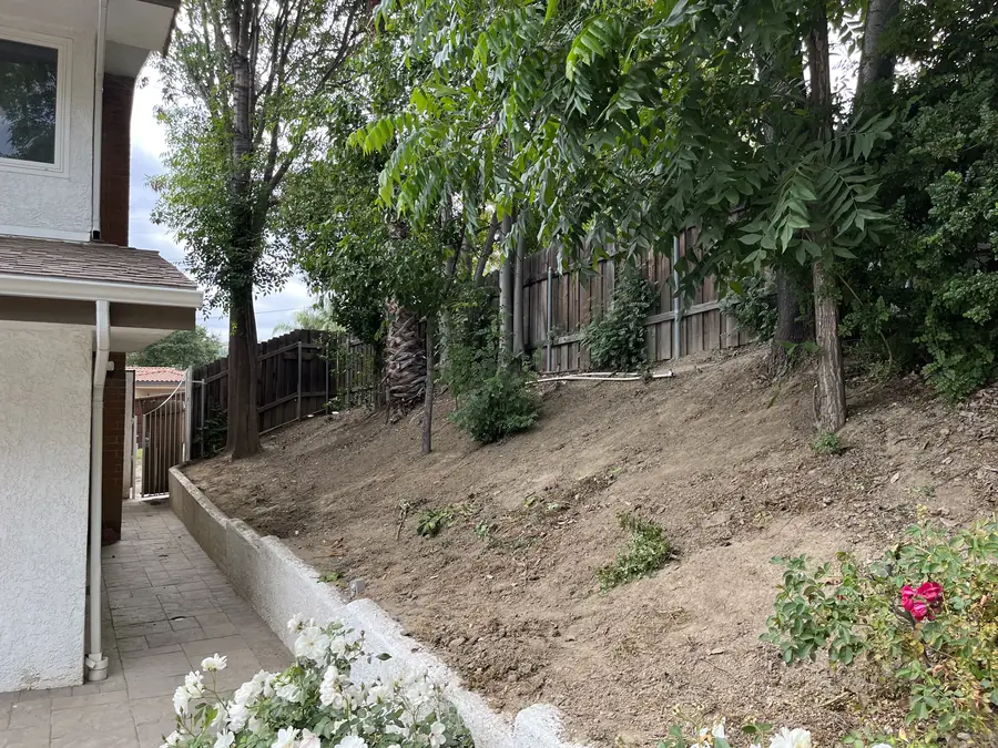
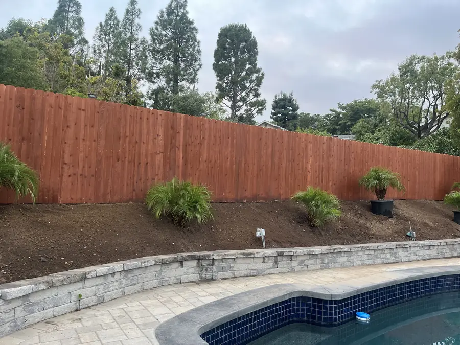
Elevation gets resolved before layout. On foothill parcels we work out where cut and fill will go, where terraces will sit, how tall the retaining needs to be, and where water will be intercepted and carried, and only then do rooms get placed on the resulting pads. Steps and their landings become a real part of circulation rather than an afterthought at the edge of a drawing. Views are the reward on those lots, so seating is positioned and sight lines kept open toward the outlook wherever the topography allows it.
By exposure first, water need second, and appearance third. A plant chosen for looks and set in the wrong light will either burn or stretch and never resemble the photograph that sold it. We map the yard by how much sun each area receives, select material suited to those conditions, then group plants with similar water requirements together so one irrigation zone can serve them properly. That last step, hydrozoning, is what stops a single bed from being drowned so that another one on the same valve manages to survive.
On paper, before anyone digs. We establish which direction each surface will fall, where collection points sit, where piped water travels, and where it discharges safely and legally. Doing that in the plan means the patio elevation, the door threshold, the top of the retaining wall, and the drain inverts all agree with one another. Drainage improvised in the field usually means someone adjusts a slope to solve a local puddle and creates a new problem twenty feet away. Water responds to elevations, never to intentions.
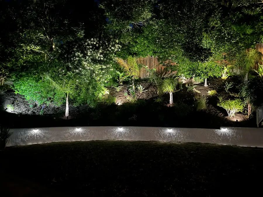
Because both live underground and both are expensive to retrofit. The plan notes where mainline and lateral runs will travel, where valve manifolds will sit, which zones serve which planting, where lighting transformers will be mounted, and which cable routes cross beneath hardscape. Sleeves go in at those crossings during construction for a trivial cost. Without that planning, the later choices are cutting a finished surface or routing a line the long way around and accepting the voltage drop or pressure loss that follows.
It changes the sense of scale, which is where large properties most often go wrong. Genuine acreage exists in the northern part of the area, including places where horse keeping is still part of how the land is used, and distances that look modest on paper feel long in person. Elements sized for a standard lot look lost in that setting, so beds get deeper, paths get wider, and features get grouped rather than scattered across open ground. We also plan how you will cross the property, because a long walk shapes where things belong.
You are expected to. The first drawing is a proposal, not a verdict. Most designs go through revisions as people react to seeing their yard laid out: the dining area moves closer to the kitchen door, the fire feature turns to face the view, a bed gets narrowed because a gate swings into it. Working those changes out on paper costs nothing but time. Working them out after the base is compacted and the paving is set costs real money. We would rather revise five times than build the wrong thing once.
Check the plan against furniture you can measure. A dining set with the chairs pulled out needs considerably more floor than the table footprint suggests, and a lounge grouping needs room to walk behind the seating. We dimension the drawing for that exact reason, and we encourage clients to mark the outline on the ground with a hose, string, or spray paint and then stand inside it. Reading a plan is a learned skill. Standing in a marked outline in your own yard tells you in thirty seconds whether the room is right.
No, they are drawn at mature size, and that surprises people. A plan that looks sparse on paper will look correct in a few seasons, while a plan that looks lush the week after installation is overplanted and will need thinning or removal later. We indicate the installation size separately so you know what arrives on the truck. Spacing at mature spread also keeps beds healthy, because crowded planting competes for water and light and tends to fail from the middle outward.
No. Daniels Landscaping builds what we design using one licensed contractor. A finished plan is never handed off to another company. That is the whole reason a design holds together from paper to finished yard, because the crew installing it can ask the person who drew it, and the person who drew it stands behind how it is built. Plans that pass through many hands tend to drift, with details quietly simplified for convenience. Ours do not drift, because there is nobody standing between us and the work.
Accountability that cannot move. When one company draws the plan and then builds it, there is no gap for responsibility to fall into and no argument over whether a problem came from the drawing or the installation. It also keeps the design realistic. A designer who has to construct the thing does not specify a detail that cannot be executed or a grade that cannot be achieved. Pricing is more honest earlier as well, since the people estimating the work are the same people who will perform it.
Call Daniels Landscaping at (818) 443-9300 to arrange a visit to your Granada Hills property. The first conversation happens on site, walking the yard, discussing how you want to live in it, and looking hard at slope, drainage, exposure, soil, and existing trees. From there we provide a free written estimate covering the design and, when you are ready, the construction. We are licensed in California under number 1138709, and every project we design is built by one licensed contractor rather than passed along to anyone else.