
FAQ
Landscape Design in Sunland-Tujunga, answered
The questions we hear most from Sunland-Tujunga homeowners.
We measure and record before we sketch anything. That means shooting the grade across the property, noting where water currently collects and where it exits, tracking sun and shade through the day, checking the soil, and locating every mature tree with its canopy and likely root zone. Views and sight lines get noted in both directions, what you want to look at and what you would rather screen. Access for equipment matters too on a steep lot. All of it goes into the plan, because a design drawn without that information is decoration rather than a buildable document.
Because the constraints are real and they interact. Slope determines where flat space can exist, which determines where retaining must go, which determines where drainage has to be collected, which determines where planting can be established. Change one and the others move. On a flat valley lot you can rearrange a patio late in the process without consequence. Here, moving a terrace by ten feet can change the wall height, the excavation volume, and the runoff path all at once. Working that out on paper is enormously cheaper than working it out with a machine on site.
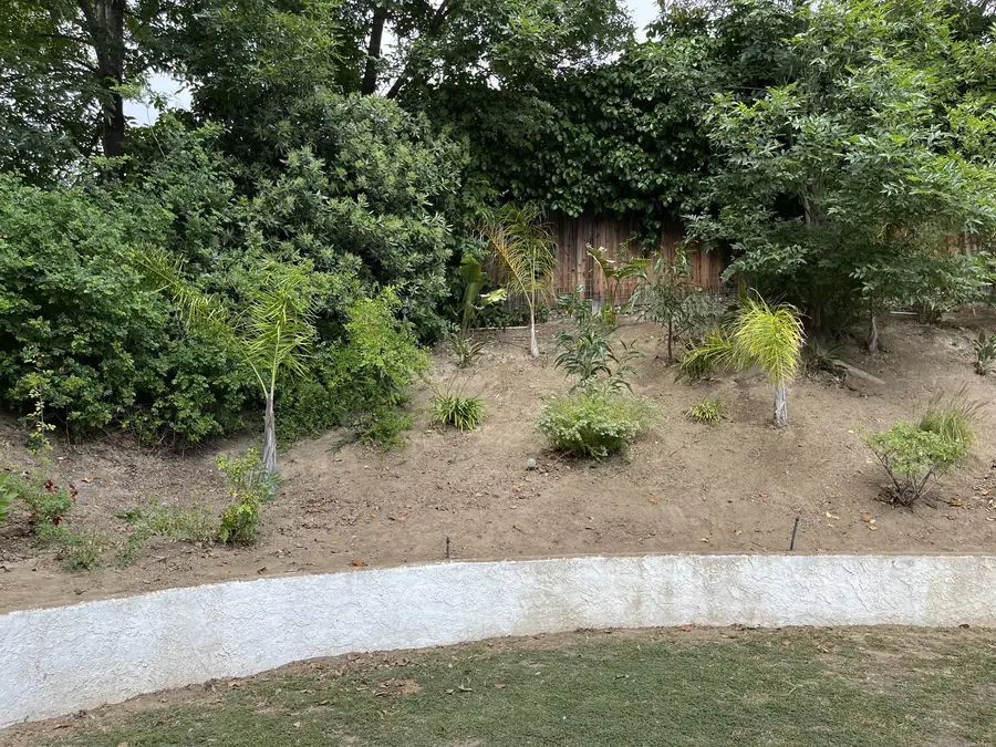
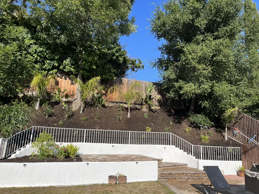
By deciding, early, how many usable levels the lot should have and where they sit. Terracing and retaining are usually the only way level space gets created here at all, so the plan establishes each terrace elevation, the wall or slope face holding it, and the stairs connecting them. We aim for fewer, larger terraces where the grade allows, since each additional level adds another wall and another drainage point. The plan also shows what stays as natural slope, because not every hillside needs to become a platform.
Grade tends to define the rooms before we do. Each terrace becomes a space with a purpose, and the plan assigns those purposes according to proximity to the house, exposure, and view. Dining goes near the door, seating and fire go where the outlook opens, quiet or utility space tucks behind planting. Circulation between rooms is drawn as real paths and steps with comfortable dimensions, not arrows. Because these lots are frequently large, the plan also decides deliberately which parts stay wild and unprogrammed, which is a legitimate design decision rather than leftover space.
Rocky decomposed granite drains fast, and that fact shapes the plant palette more than anything else. Species that want retentive soil struggle here without constant intervention, while plants adapted to sharp drainage thrive with far less input. The plan groups plants by water need so a single valve is never trying to satisfy two different appetites. Excavation difficulty also gets noted, since planting pits in granite are harder to open and large specimens are correspondingly more work. Designing to the soil you have is less romantic than amending it endlessly, and it lasts.
Yes, it is drawn in from the beginning rather than added as a note. At this wildland interface the zone nearest structures is planned for low fuel, well spaced, well irrigated planting, with continuity deliberately broken so nothing forms an unbroken run of vegetation toward the house. Clearance around the building is held on the plan, not negotiated away later when someone wants a hedge there. Further from the structures the palette can loosen and follow the natural character of the foothills. Fire wise design is a genuine constraint here, and treating it as a style choice is a mistake.
They are drawn first and everything else works around them. Mature natives are the hardest element to replace and the strongest thing a new design can borrow from, so the plan shows canopy spread and protected root area, and keeps paving, footings, and grade changes outside it. Shade patterns from those canopies then drive plant selection underneath them. Occasionally a tree genuinely sits where the only viable level pad could go, and if that happens we say so plainly and lay out the trade rather than quietly drawing it off the page.
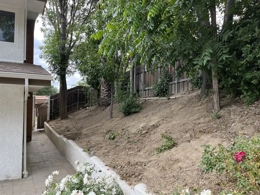
On the plan, before a shovel moves. Every surface is given a direction to fall, every terrace gets a collection point, and the route from those points to a legitimate discharge location is drawn as a continuous system rather than assumed. Slope faces are identified as areas needing stabilization so winter runoff does not carve them. Erosion control is central on foothill ground, and it is far easier to route water correctly on paper than to retrofit a system into finished hardscape. This section of the plan is usually the least glamorous and the most valuable.
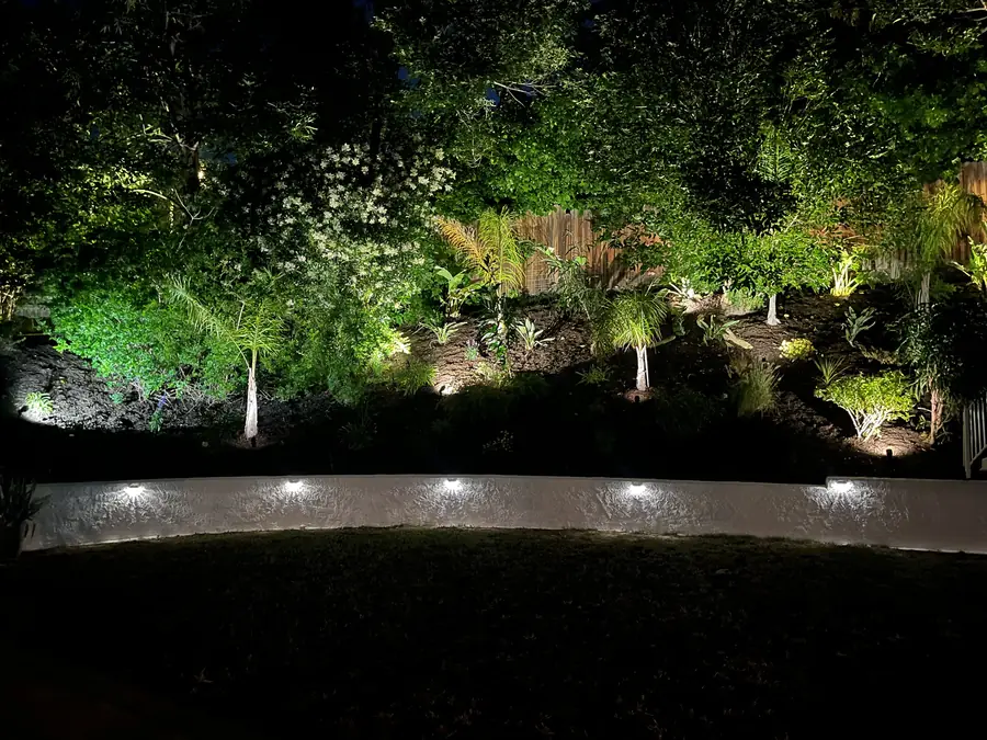
It shows intent and routing, which is what construction needs. Zones are laid out by water requirement and exposure so each valve serves plants with similar needs, and sleeve locations under future paving are marked so nothing has to be cut open later. Lighting is planned as layers, step lights on terrace stairs, path lighting along circulation, and uplighting into the mature trees, with cable routes noted. On rocky ground where every trench is real work, deciding these routes during design rather than mid build saves genuine time and expense.
By letting the land lead. People choose these communities for the rural, wild feeling and the natural character, and dropping a symmetrical lawn and clipped hedges onto a foothill lot fights everything around it. We work with the existing contours instead of flattening them, use materials that sit comfortably against granite and native trees, allow planting to grow into loose natural forms, and reserve crisp geometry for the areas closest to the house where it reads as intentional. The finished yard should look like it belongs on that hillside, not like it was imported.
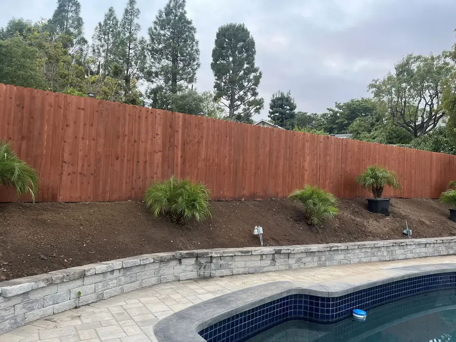
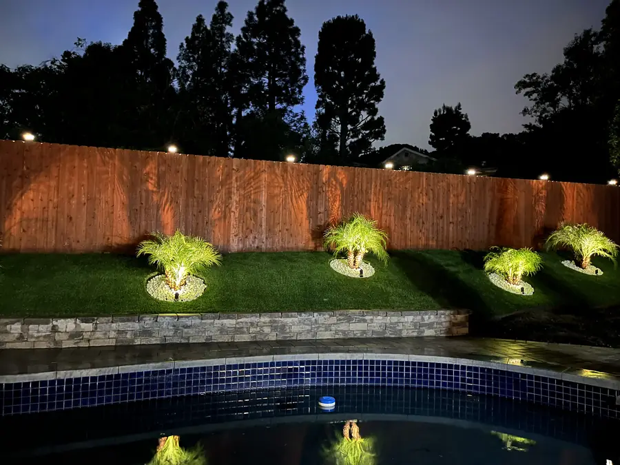
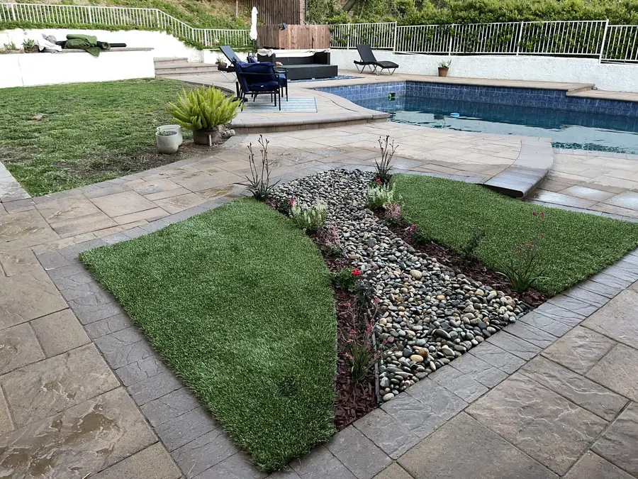
Every built surface is drawn with its planting relationship in mind. A retaining wall gets planting above and below it to soften the face and hold the soil at its edges. A patio gets planting on the sides where it meets slope so the transition is not an abrupt line. Gravel and decomposed granite areas are used where a softer, more natural surface suits the setting better than continuous paving. Hardscape and planting drawn separately and combined later is how yards end up looking like two projects that happened to occupy the same lot.
Yes, and it is the reason a new plan can look sparse. Drawing everything at installed size produces a design that looks lush on paper and becomes an overcrowded tangle in a few years, which on a fire exposed foothill lot is a real problem rather than just a maintenance one. Spacing at mature dimension keeps the separation between plant groups that the design depends on. We walk you through what the first season will actually look like so the initial gaps are expected rather than alarming.
That is exactly what the plan stage is for. You receive the drawing, live with it, mark it up, and tell us what does not suit how you use the property. Moving a terrace, resizing a patio, or changing a plant grouping is a pencil exercise at this point. We expect a round or two of revision on foothill lots in particular, because the levels and how you move between them are worth getting right. Nothing gets built until the plan reflects what you actually want, and the drawing is the reference we build from.
Take the dimensions off the drawing and test them against the pieces you own or intend to buy. A dining table with chairs pulled out needs more room than people assume, and a terrace that measures generously on paper can feel tight once seating and a walking route share it. Mark the outline out on the ground if the area is accessible enough to do so. On terraced lots we also want you to walk the proposed stair locations, since how you move between levels every day matters more than the plan view suggests.
We flag them on the plan so there are no surprises later. Sunland-Tujunga falls within the City of Los Angeles, so review goes through Los Angeles Building and Safety, and retaining walls above the height threshold require an engineered design and a permit. Covered structures and any gas or electrical work are permitted as well. Because terracing on steep lots often pushes walls toward that threshold, we identify during design which walls will need engineering, which changes both the drawing and the budget conversation before anything is committed.
One licensed contractor is accountable. Daniels Landscaping stays accountable for the work. The advantage of design and build under one roof is that the plan does not drift once construction starts, because the people digging the terraces are the same organization that drew them and can ask us directly rather than guessing. When rocky ground forces an adjustment on site, the decision gets made against the design intent instead of against whatever is fastest for a passing crew.
A plan you can build from and evaluate. It shows the layout with dimensions, the terrace elevations and retaining locations, hardscape materials, the planting scheme with species and spacing at mature size, drainage direction and collection points, and where irrigation and lighting will run. It is drawn to be understood by you and used by the crew, not to be a presentation piece. Anything specific to your property, a difficult access route, a protected tree, a wall that will need engineering, is noted on the drawing rather than left in conversation.
Give us a call at (818) 443-9300 and we will set up a walk of the site. Foothill property really does have to be seen, since slope, soil, existing trees, and access shape the design far more than a description or a photograph can convey. From that visit you receive a free written estimate covering the design work and the construction that follows. Daniels Landscaping holds California license 1138709 and builds everything we draw with one licensed contractor. There is no cost for the estimate and no obligation attached to it.