
FAQ
Landscape Design in Lake View Terrace, answered
The questions we hear most from Lake View Terrace homeowners.
The work is decision making before construction. We walk the parcel, learn how you use it, and then organize it, where outdoor living areas go, how you move between the house, the barn, and parking, what stays open, and what gets planted. On a horse property the plan has to serve the animals and the equipment as well as the people, so the drawing treats working areas, access routes, and living areas as separate zones. The output is a plan you can build from, not a collection of pretty images.
A site walk gathers what the plan has to answer to. Slope and how water currently moves across the property, the soil we are actually digging in, sun and shade through the day, existing trees and their root zones, sight lines toward the hills and toward anything you would rather not see, privacy, and where the wind arrives from. On larger parcels we also record where trailers turn, where deliveries stop, and how far utilities reach. Everything measured that day shows up as a constraint on the drawing.
Scale changes the whole exercise. In a small back yard nearly every square foot gets designed. On acreage most of the ground will never be intensively planted, so the real work is deciding where attention and water are concentrated and where the land is simply left to read naturally. That means a few strong, well built areas connected by clear circulation, with open ground between them. Spreading a budget evenly across a large parcel produces something thin everywhere and good nowhere, which is the common mistake out here.
Separation is drawn early, because everything else follows from it. Stalls, turnout, feed and equipment storage, and the wash area belong on one side of the plan, with surfaces and drainage suited to that use. Patios, dining, seating, and planting belong on the other, upwind where possible and screened from the working side by planting or a wall. The buffer between them is designed rather than left over. Getting that boundary right is what makes a property feel like a home with horses instead of a facility with a house on it.
Access is a design constraint, not an afterthought. We draw the turning path a truck and trailer genuinely need, check it against the gate, the driveway width, and anything proposed for planting near a corner, and keep the route to the working areas clear of finished living areas. Delivery and equipment routes get the same treatment. A plan that looks handsome but forces you to back a trailer past a new seat wall every week is a plan that has failed at its job.
It shapes what we propose. Alluvial ground carrying rock down from the canyons makes excavation slower and costlier, so anything requiring deep footings, a fireplace, tall walls, large columns, is placed deliberately rather than scattered around the parcel. It also influences drainage assumptions, because rocky soil takes water unevenly and we do not design as though everything will percolate. Knowing this while drawing lets us weigh options honestly instead of discovering the cost once a machine is already on the property.
You receive a plan you can build from. It shows layout to scale with dimensions, the surfaces and materials for each area, planting with species and quantities, grading and drainage intent, and where irrigation and lighting will run. Elevations or sections come in wherever a wall, a cover, or a grade change needs explaining. It is detailed enough to price accurately and detailed enough that another set of eyes could read and follow it, which is the standard any plan should meet.
Revising is part of the process, and it is far cheaper on paper than on the ground. We present the plan, you live with it a while, and then we go through whatever does not fit, a seating area too far from the kitchen door, a path ignoring how you actually walk, planting you dislike. We adjust and present again. Nothing gets built until you approve a plan you are genuinely happy with, because moving a line on a drawing costs nothing and moving a wall costs plenty.
Plants are chosen by exposure first and preference second. We match each area to its light, its wind, and the soil it sits in, then group plants by water need so a single valve is not trying to serve thirsty and dry material at once. That hydrozoning is set on the plan, which is what makes the irrigation design work later. Mature size drives spacing, and species that fight the conditions out here are left off no matter how good they look in a photograph.
Yes, particularly close to structures. Near the wildland edge the plan keeps the band around buildings low, spaced, and irrigated, avoids continuous runs of woody material leading toward the house, and pushes denser planting farther out and broken into groups. Hard surfaces, gravel, and stone do useful work in that zone. Designing this on paper is much easier than retrofitting after a landscape has filled in, and it also sets realistic expectations about the clearance maintenance you will be doing every year.
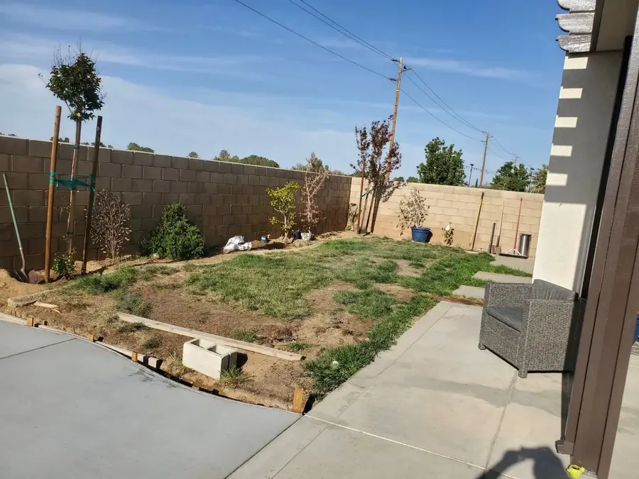
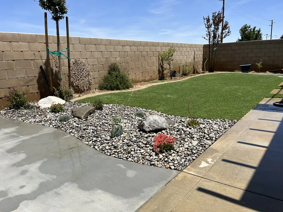
Phasing gets designed in from the start. We plan the whole property, then break it into stages by area, so you build the space around the house first and the outer areas later without redrawing anything. The plan notes what has to be roughed in early, main irrigation lines, sleeves under future paving, drainage runs, so later phases do not require tearing up finished work. Holding the full plan also keeps the stages consistent even when a few seasons pass between them.
Grade and drainage are settled on the drawing before any surface is chosen. We set the direction water leaves each area, where it collects, where it discharges, and what falls the paving needs to carry it, then design swales, drain lines, and outlets to match. Since water comes off the hills here, that intent has to be deliberate. Leaving drainage to be sorted out during construction is the reason so many yards need it corrected again a few years later.
Both are drawn. The plan shows valve locations, the zones and what they serve, main line routing, and the point of connection, along with where low voltage lighting runs, where the transformer sits, and roughly what each fixture is doing. Even when lighting is deferred to a later stage, sleeves and conduit paths appear on the drawing so trenching happens once. On a large parcel, run lengths matter, and planning them on paper avoids pressure and voltage problems after everything is buried.
Rooms first, then the paths between them. We identify the places worth being, a dining area near the kitchen door, a shaded spot, a fire terrace with the hills in view, then connect them with routes following how people and equipment truly move. On open ground the connections carry a lot of the design, because distances are longer and a path crossing a wide parcel has to feel intentional. Each room gets a defined edge so it reads as a place rather than furniture sitting loose on open ground.
Planting is drawn at mature size, always. A plan showing plants at nursery size looks full on paper and leaves a yard either overcrowded in a few years or bare for the first ones. Drawing mature spread means beds look sparse at installation and correct later, and we say so at the presentation so it is not a surprise. Where you want immediate fullness, we achieve it with larger container sizes or temporary filler rather than crowding permanent material together.
Bring real measurements to the drawing. Measure your dining table with the chairs pulled out, your loungers, your grill, and your truck and trailer, then check those against the dimensions shown. A patio that looks generous on paper can be tight once a table and walking space sit on it. We size those areas from real furniture during design, and if you already own the pieces, give us the dimensions and we will draw to them rather than to a generic standard.
One licensed contractor builds it, and there is no handoff. Daniels Landscaping designs and builds under one roof on any part of the job. The people who drew the plan stay involved while it is going in, so the reasoning behind a grade, a material choice, or a plant location does not get lost. Plans drift during construction when the designer and the builder are different companies, and that is exactly the gap this arrangement closes.
Start with a call to (818) 443-9300 and we will schedule a site walk at the property. We look at slope, drainage, soil, sun, existing trees, access, and how you use the land, talk through what you want the place to become, and follow with a free written estimate covering the design and the construction it leads to. We carry California license 1138709, and you are welcome to verify it. Because one company designs and builds, the plan you approve is the plan that gets constructed.